So I have done the Ring the Peak in sections and even incorporated a couple interesting multi day rides using part of this fairly large trail system. If you havent heard of it the Ring the Peak trail system is a series of single track and road that make up a 70 mile loop that circumferences Pikes Peak. This trail has a great variety of terrain, steep descents, tough hike a bikes, and lots of twisty fun singletrack with amazing vitas.
For both of these rides I started from my house which is located central part of Colorado Springs. Starting from my house made the total distance about 100 hundred miles.

Here is the rig all loaded up at the spring in Manitou Springs. My new J-Paks worked out fantastic. A shout out for Joe for making such great quality custom frame bags. I got a early start this go around and made the trek out o Ute Pass Trail Friday night.. It rained a nice warm rain this evening and ended up getting some pizza before hitting the trail at a little joint on the corner of Ruxton and Manitou Ave.

The UPT was not a highlight of the route. It has been widened from the fire roads that were cut during the Waldon Canyon fire. And has a nasty hike a bike up the first section of the trail and loose dirt made for a slow going section of the Ring the Peak route.

Getting some water before the nasty Hy 24 section.

After a cruise through Chipita Park and a steep road climb then Hike a Bike you attain the top of the range. This is a great place to stop and refuel gather your thoughts and know from here good time and many miles will be attained.

Follow the signs!


Great little single track connectors litter the route.

My J Packs Ruk Sak.

Water refill spot.

Dirt road crusing for a while.

North Catamount Reservoir

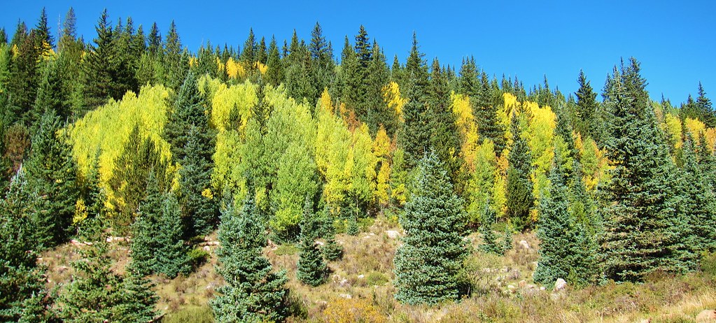
Trees are starting to turn.

Up the road past the Crags campground. There is a fun single track section from the end of the road all the way to Pancake rocks/Hy 67

Its starting to get late in the day and this is a nice relaxing descent to Hy 67 down this valley full of beaver dams.

So as quickly as I can I scramble to get through the Highway 67 section, which is the scariest part of the ride for me (I do not like road riding especially highway riding) Once you get to gold camp you can make good time to the


The day is getting long and my rig keep crusing. I covered a lot of distance this day. I rember thiking on this section of Gold Camp road how nice the 29er is for this type of multi day riding/touring.

This picture shows the outside of my bivy after a chilly nights sleep. I camped at the Clyde area off Gold Camp road right before you turn of for FR 379
There is a long road climb up to higher elevations on FR 379 up to the watershed area.

There is a nasty hike a bike up old seven steps road. Watch out for Jeeps and 4×4 comming down this steep and loose 4×4 trail.


I end up having lunch behind Amagre.


After a nice travers across FR 379 you take Pipeline trail, one that happens to be very familiar to me, for a nice long down hill run back into the springs side.

Crossing Bear Creek on trail 666


Your not done yet! Same some energy for Palmer Trail, Section 16 and Inteman trail.

And what a way to finish other than a fine beer in the shade!
